Article Today, Hyderabad:
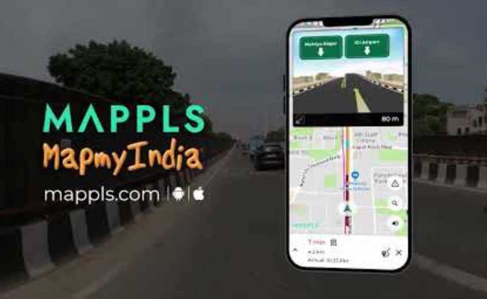
Challenging the dominance of Google Maps, Indian navigation platform Mappls, developed by MapmyIndia, has emerged as a strong indigenous alternative. The app, designed specifically for India’s complex road networks, has already crossed 35 million downloads and is being hailed for its accuracy, privacy focus, and regional inclusivity.
A Collaboration for Precision
Developed in partnership with the Indian Space Research Organisation (ISRO), Mappls integrates high-resolution satellite data to provide enhanced mapping accuracy. The collaboration has allowed the company to refine location data with remarkable precision, addressing one of the biggest challenges of existing global mapping systems in India.
Thirteen Advanced Features
The app comes with 13 key features that aim to redefine navigation for Indian users. These include three-dimensional junction views for overbridges, flyovers, and underpasses, which make driving smoother and safer. The live traffic signal timer shows the remaining time for green or red lights, reducing stress at intersections. Another highlight, the toll savings route optimisation, helps drivers avoid toll routes to save both time and money.
Enhancing Safety and Accessibility
Mappls also provides alerts for speed breakers, potholes, and traffic cameras, ensuring safer driving experiences. One of its major strengths lies in the offline navigation mode, which functions efficiently even in areas with poor internet connectivity. This feature is especially valuable in rural India, where network access remains inconsistent.
Addressing Locations with Precision
The app’s Mappls Pin system assigns a unique six-character code to every location in India. Developed with ISRO and IIT Hyderabad, the technology — known as Digital Address Pin (DigiPin) — divides the country into 3.8-metre squares, enabling highly specific guidance. The feature allows users to locate not just buildings but individual apartments, shops, or plots of land.
Multilingual Interface for Local Reach
To ensure inclusivity, Mappls supports nine Indian languages, including Telugu, Tamil, Hindi, Bengali, Marathi, Kannada, Punjabi, Malayalam, and Gujarati. Users can access voice guidance, search options, and map views in their preferred language, making the app accessible across linguistic regions.
Beyond Navigation
Mappls goes beyond basic route guidance by offering live location sharing and real-time tracking, enhancing personal safety and travel monitoring. Its hyperlocal search feature allows users to find nearby restaurants, hospitals, malls, and services with ease. For commuters, the app provides tailored routes for driving, walking, cycling, and public transport, considering local conditions and travel modes.
A Modern, User-Friendly Design
With a refreshed interface and a dark mode option, Mappls ensures comfortable use during both day and night driving. The step-by-step voice-guided navigation, coupled with estimated arrival times and live traffic updates, provides a seamless experience comparable to — and in some cases superior to — Google Maps.
A New Chapter in Digital Navigation
Experts view Mappls as a milestone in India’s journey toward technological self-reliance. By integrating indigenous mapping data, local languages, and privacy-focused design, it represents a significant step in creating a navigation system built for India, by India.